
St. Joseph County Neighbor Sources
A block search joins map geometry with one record at a time. County GIS shows which parcels touch the same road, alley, or lot line. XSoft supplies the assessed owner, mailing line, legal description, class, and transfer tabs for each parcel. Neither source lists all occupants. Historical directories and Sanborn maps can reconstruct an older block, while South Bend's neighborhood pages identify civic contacts rather than private member rolls.
| Source | What It Shows About a Block | Access |
|---|---|---|
| County GIS parcel geometry | Outlines, frontage, alleys, roads, adjacent lots and public boundaries | Free map; not a survey or people list |
| XSoft parcel cards | Assessed owner, mailing line, legal description, class and transfer tabs | Free, one parcel at a time |
| Assessment Neighborhood Map | Street labels, parcel popup and shared taxing-neighborhood context | Free; cards update yearly |
| Indiana voter lookup | One person's registration and polling confirmation | No public block-wide roster |
| Historic street directories | Dated occupant and business entries by address | Library, archives and selected scans |
| South Bend neighborhood groups | Group boundaries, public contacts and civic work | Public toolkit; no member roster |
Use the source label in every conclusion. “Assessed owner on a dated card” is accurate. “Resident” may not be. A situs address locates the parcel, while the mailing line may point elsewhere. Voter and directory matches concern named people but come with their own dates and limits. Keeping those fields apart helps prevent a neighbor from being assigned to the wrong house.
Read Neighboring St. Joseph Parcels
Search the county Parcel Search map by address or parcel, then click the lots that share the block. No official description confirmed an automatic radius or buffer list, so record each adjacent parcel ID by hand. Open those IDs in XSoft and copy the card date, situs, assessed owner, mailing line, legal description, township, and taxing district.
A reproducible block note includes the viewer URL, map date, visible layers, target parcel, every adjacent parcel ID, and each assessment card date. If a parcel will not open, try the address point, intersection, subdivision, or legal description. Ask GIS whether the lot was retired or split instead of assuming a blank space has no record.
St. Joseph Blocks Cross Boundaries
One block can cross a city limit, township, school district, tax district, or postal label. Keep each boundary in its own worksheet column. The GIS parcel click identifies mapped land, XSoft identifies the assessment card, and the Recorder identifies the instrument. None should be substituted for another.
Inside South Bend, city land-record layers add address points, districts, historic-preservation areas, and municipal context. County data requests can include centerline streets, annexations, city and town boundaries, civil townships, parcels, road rights-of-way, subdivisions, survey sections, tax districts, vacations, voter precincts, and zoning. Full-county layers are listed at $200 under a data-use agreement. A selected aerial tile is $25, with years from 1966 through 2025. Those files explain the block, not its private households.
Map St. Joseph County Neighbors
The map-first process moves outward from one known address. It is narrower than a whole-street search and makes each conclusion easy to check. Parcel lines are useful public context, but they are not a legal boundary survey.
- Locate the address or parcel in the county GIS viewer and note the map date and active layers.
- Zoom to the block and click each parcel sharing the street, alley, road, or lot boundary.
- Copy every parcel ID, then open its XSoft card. Keep the situs and mailing address separate.
- Record the owner label, legal description, card date, township, taxing district, and municipal boundary.
- Use the Recorder only when a deed or title link is needed, and label that evidence by date.
This method answers which parcels surround one place. For every parcel along a named road and the full address-record chain, use the St. Joseph County street directory workflow. A block list should never be expanded into presumed household members.
South Bend Neighbor Contacts
The city's neighborhood toolkit names civic groups and gives public channels such as websites, Facebook, Nextdoor, SOAR, or a direct contact when available. It is not a household directory. Use a group to learn about a plan, meeting, boundary, or project, not to infer who belongs.
River Park and Rum Village
Both appear in the city's toolkit. Public group channels support civic questions, while membership remains private.
Howard and Kennedy Parks
The toolkit identifies associations, and city plans add dated context for each neighborhood.
Near West and Northeast
Named councils and associations connect residents with neighborhood work and city staff.
Neighborhoods Consortium
Active associations send one representative and an alternate to exchange ideas with the city.
The South Bend engagement page provides a “Find Your Neighborhood” map and a route to add or update a group.
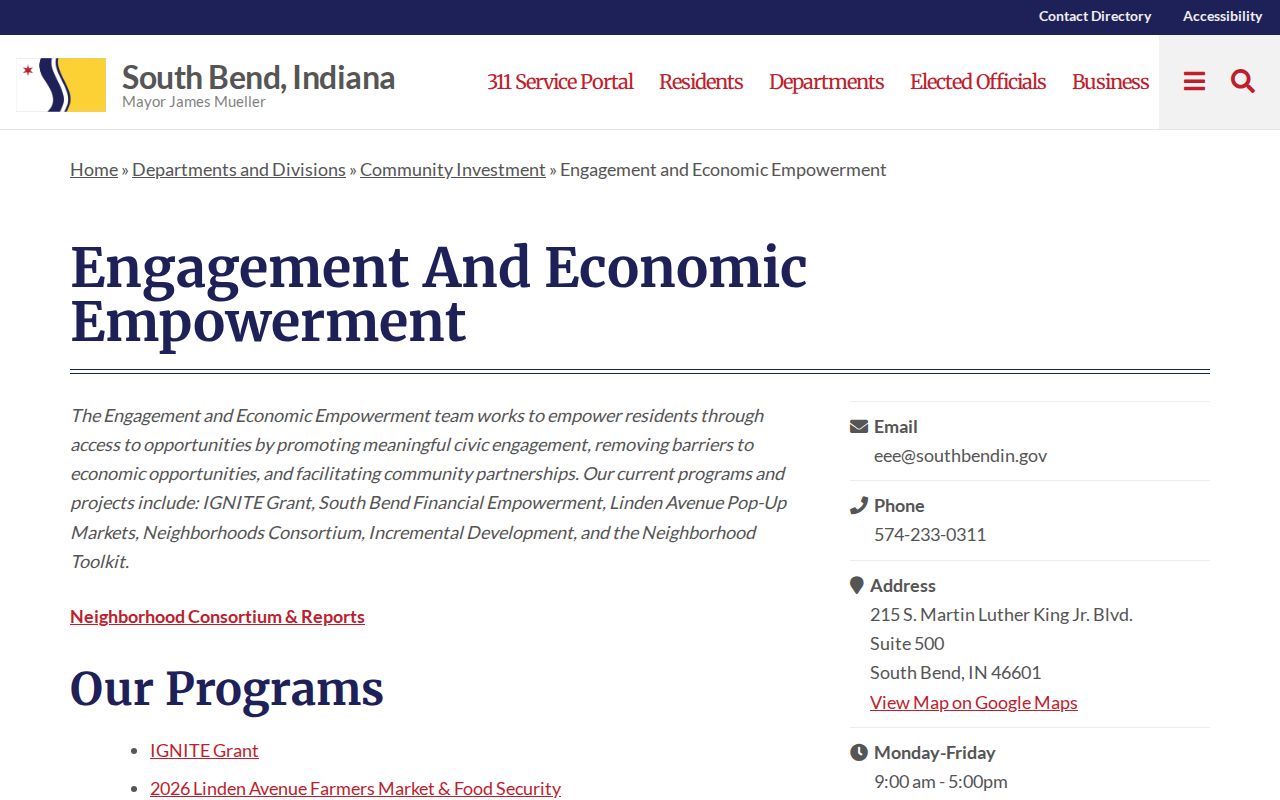
The city resource helps place an address in civic context without publishing a list of neighbors or association members.
Neighborhood Plans Mark Local Time
Plans provide a dated community layer. The researched set includes Howard Park and Lincoln Park plans from 2012, Miami Hills and Portage/Elwood from 2018, Near Northwest from 2019, Kennedy Park, Near West, Northeast, and Rum Village from 2022, Monroe Park/Edgewater from 2023, and LaSalle Park from 2026. These dates can explain a public project or boundary discussion around your neighbors.
A plan boundary is not a parcel boundary. The current LaSalle Park work, for example, should be cited as a planning initiative rather than proof of ownership or residence. Pair plans with the county parcel map when exact lots matter.
The successful capture below comes from the Neighborhoods Consortium.
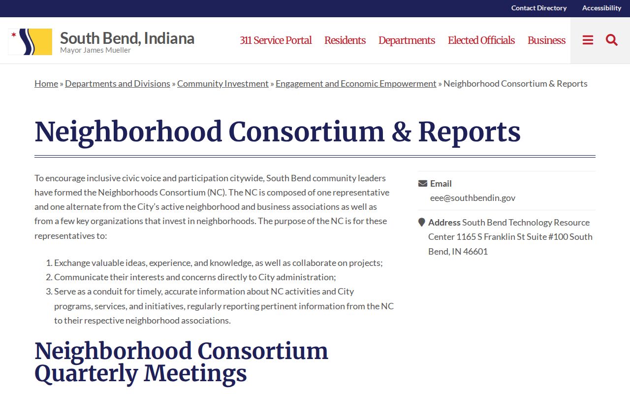
The consortium is a communication route for active groups, not a directory of private households.
Indiana Voter Limits by Block
IndianaVoters.gov is designed for one person's registration and polling confirmation. Official guidance describes county, first name, last name, and date of birth as the core lookup inputs. It is not an open street-by-street list of neighbors. A full computerized file uses State Form VRG-24 and a county-controlled scope, fee, delivery method, and signed use agreement.
Indiana law also shields Address Confidentiality Program data, protected-voter information, full Social Security numbers, proof-of-citizenship documents, and other confidential fields. A person missing from a public lookup may be protected, unmatched, inactive, or simply searched with the wrong details. Never treat a no-result screen as proof that someone is not part of the block.
Find Past St. Joseph County Neighbors
For an older block, use a directory street section, then check each name in that volume's alphabetical pages. Farr, Hibbard, and Polk editions vary in scope, and later South Bend-only runs do not always cover Mishawaka. Record the year, publisher, page, abbreviation, and any widow, boarding, work, or removal note.
Sanborn maps can align historic house and block numbers with building footprints, street width, use, and materials. Match those clues to the parcel's legal description before carrying an old name onto today's map. Michiana Memory adds photos, maps, postcards, yearbooks, newspapers, and architecture for community context.
View the successful capture from Michiana Memory.
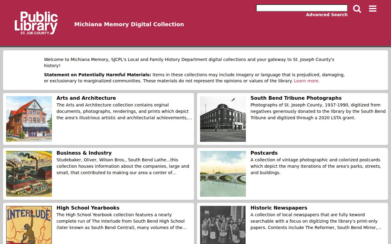
The digital gateway can date a street scene or local event, while original items and staff help may still be needed onsite.
Official Records Versus Neighbor Tools
Private neighbor-search products may blend old addresses, phone associations, property records, and marketing data. That blend can join the wrong people or parcels. Official sources are narrower but clearer about the custodian and date.
| Question | Official local record | Commercial category |
|---|---|---|
| Which lots touch? | County GIS with dated parcel geometry | May simplify or misread adjacency |
| Who is the assessed owner? | XSoft card with owner label and card date | May retain an old owner |
| Who occupies the home? | No complete public block roster | May infer or merge household members |
| Which civic group serves the area? | City toolkit and public group contact | May lack current local boundaries |
A careful note cites the map date, parcel ID, assessment-card date, and association source separately. It does not publish a guessed list of private household members.
Privacy for St. Joseph County Neighbors
County street portals do not expose every renter, household member, utility customer, mail recipient, or driver's-license address. A property card identifies an assessment record. A voter match concerns one registration. A code case may name a responsible party, but it is not a household roll. Keep these limits visible in both notes and conclusions.
Property Fraud Alert is useful for owners who want notice when a document is recorded under a chosen name. It does not monitor residents or prevent a filing. See the successful capture from the St. Joseph County Property Fraud Alert page.
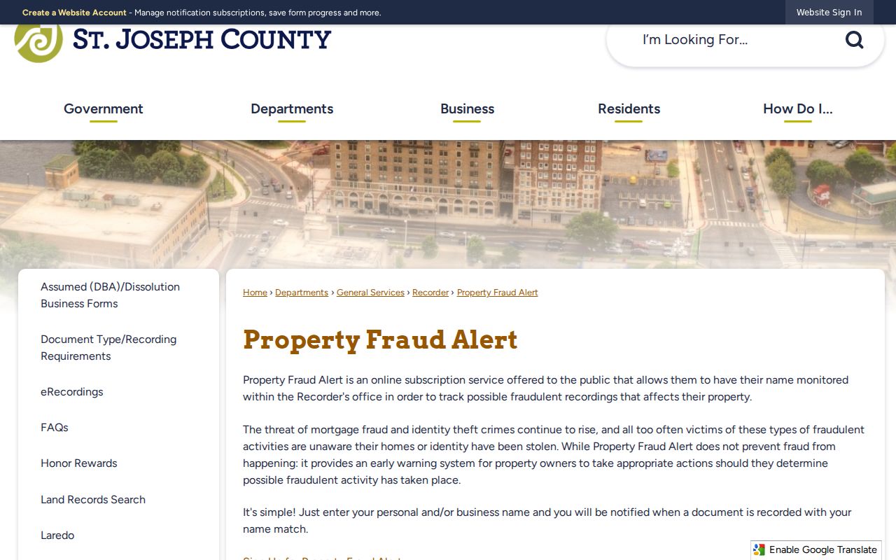
The alert supports safer document review while keeping the neighbor search focused on lawful public evidence.
Lawful use. Look up St. Joseph County neighbors for civic curiosity, reconnection, or personal safety. Never use public records to watch, harass, intimidate, or harm anyone.